

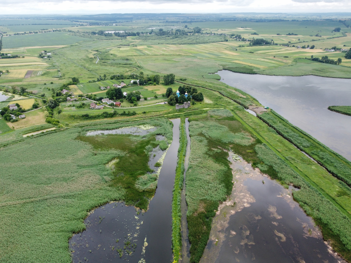
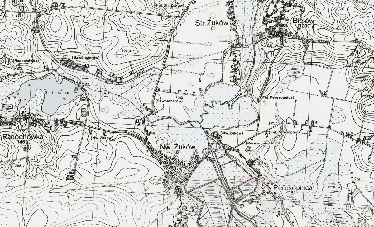
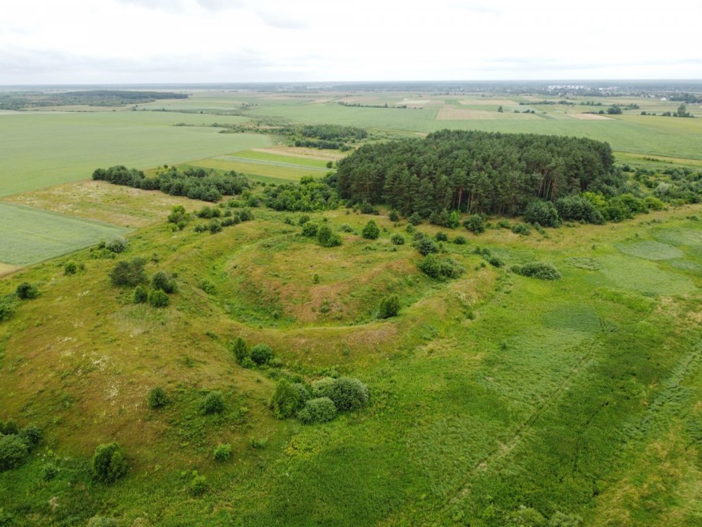
Located approximately one kilometer from Peresopnytsia.
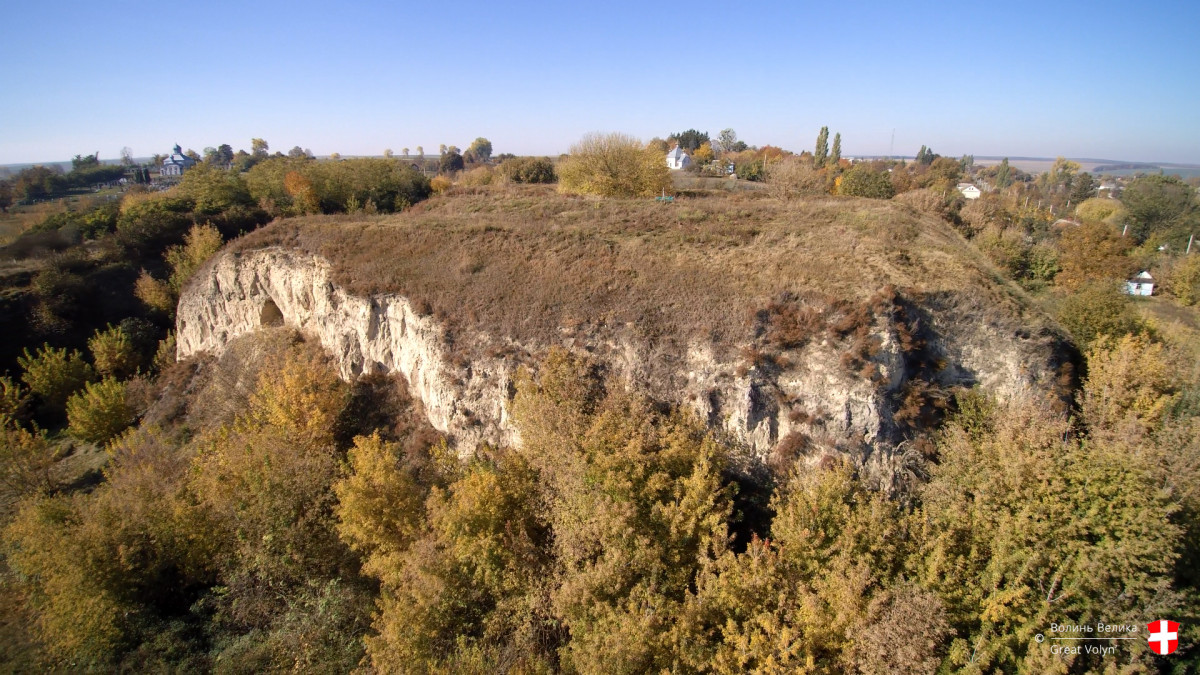
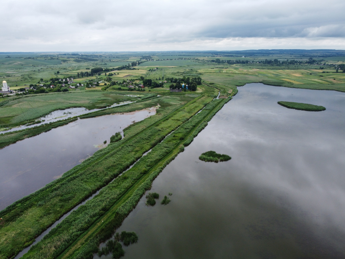
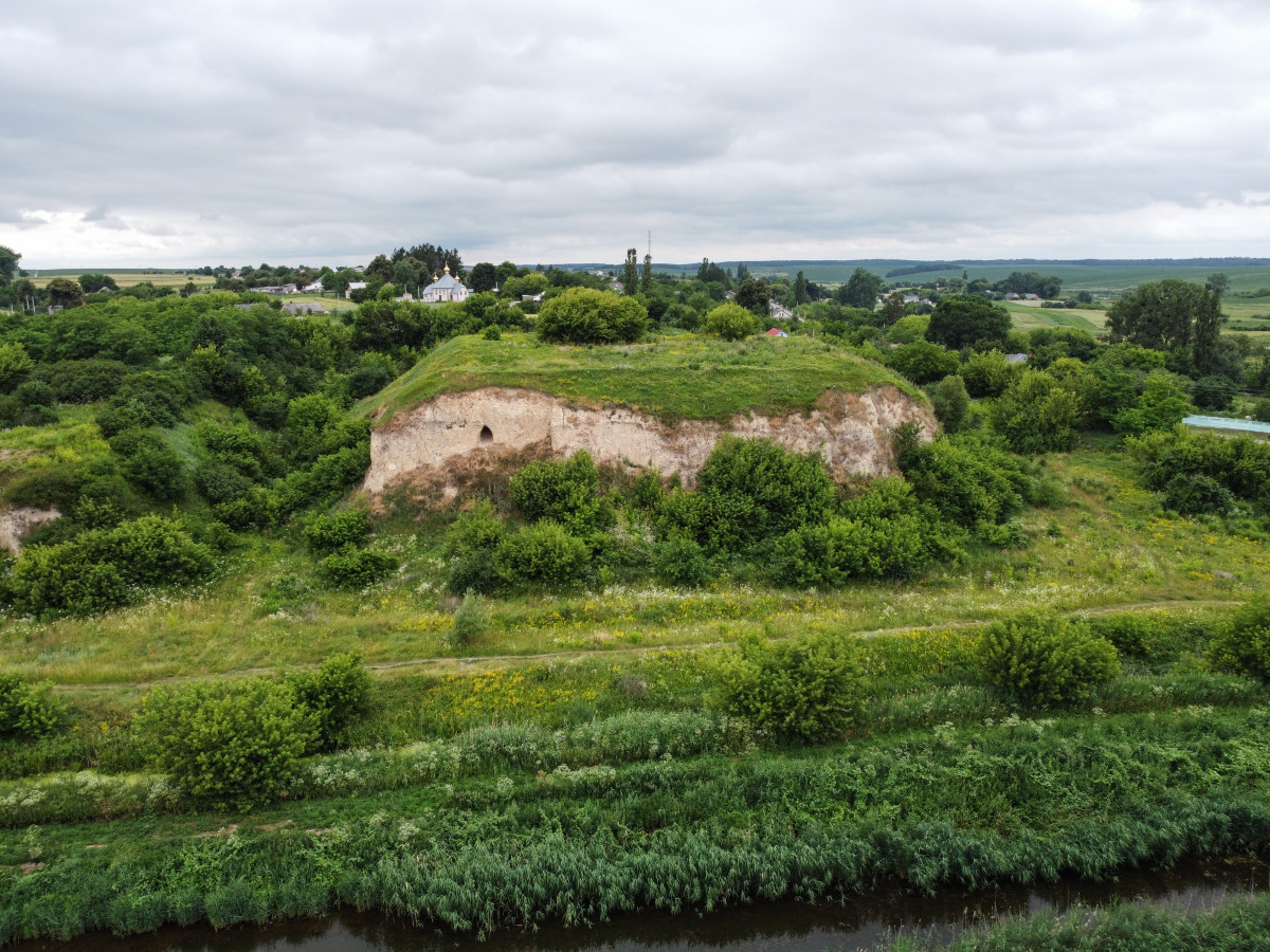
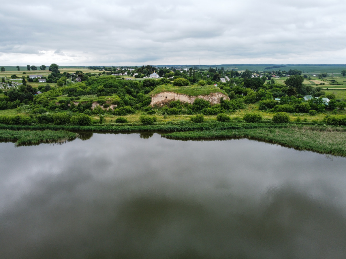
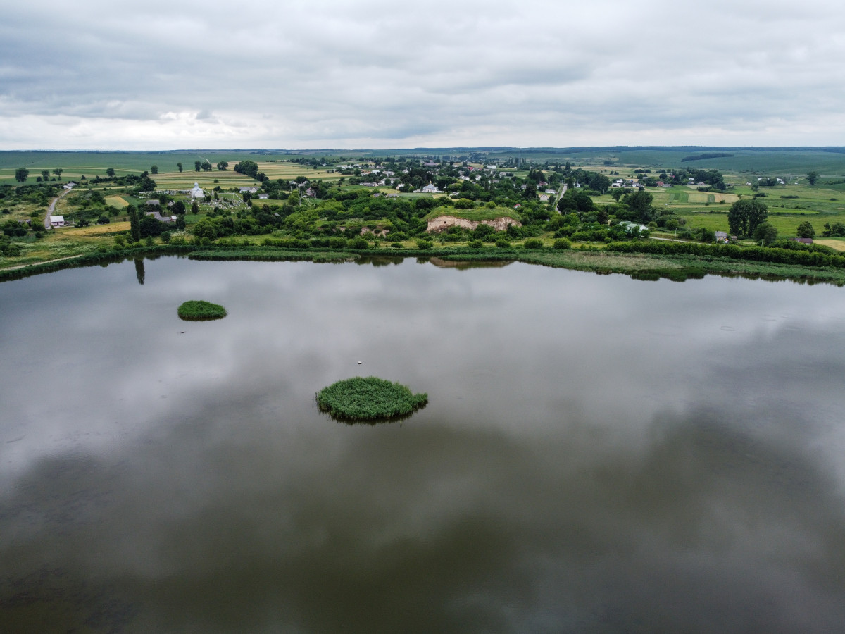
The remains of the old Zhukiv castle (now the village of Novozhukiv). At the end of the XIV century the town of Zhukiv took over tax and administrative functions from Peresopnytsia, when the latter, like many cities in Rus, was destroyed by the Mongol-Tatar invasion.
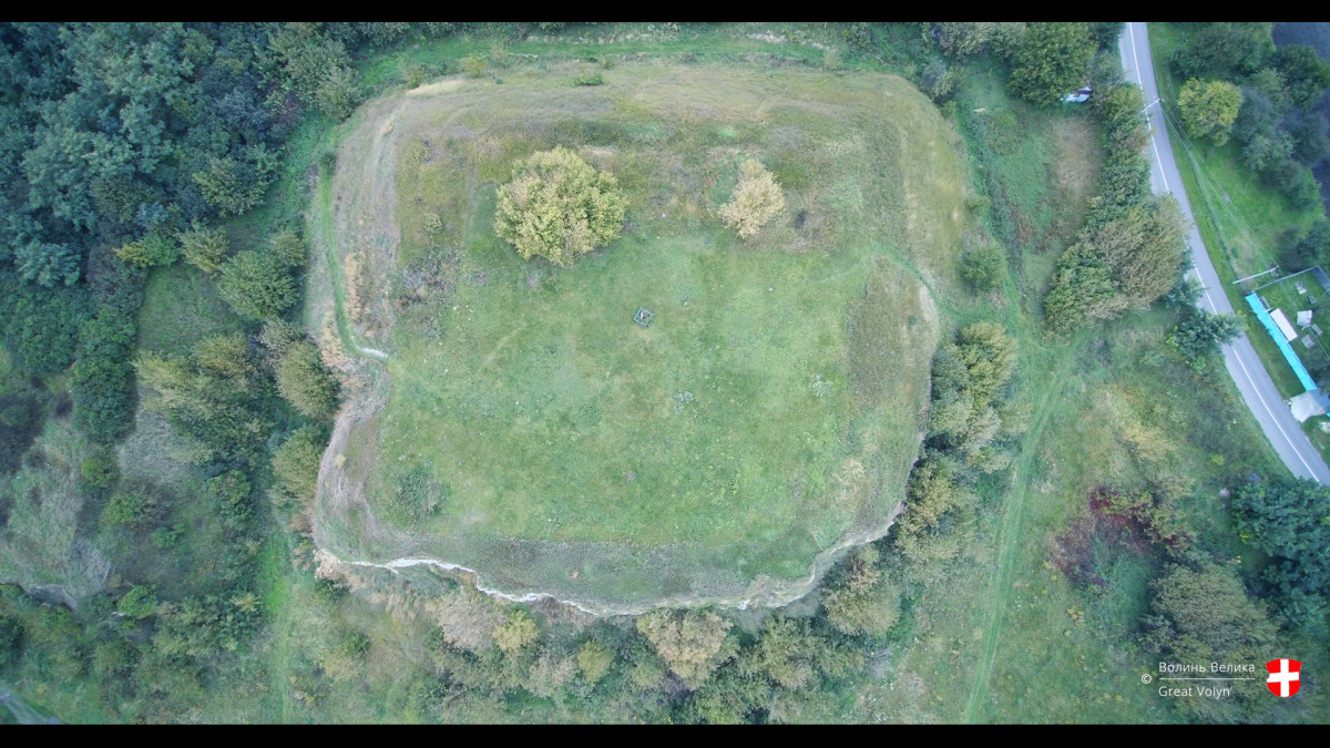
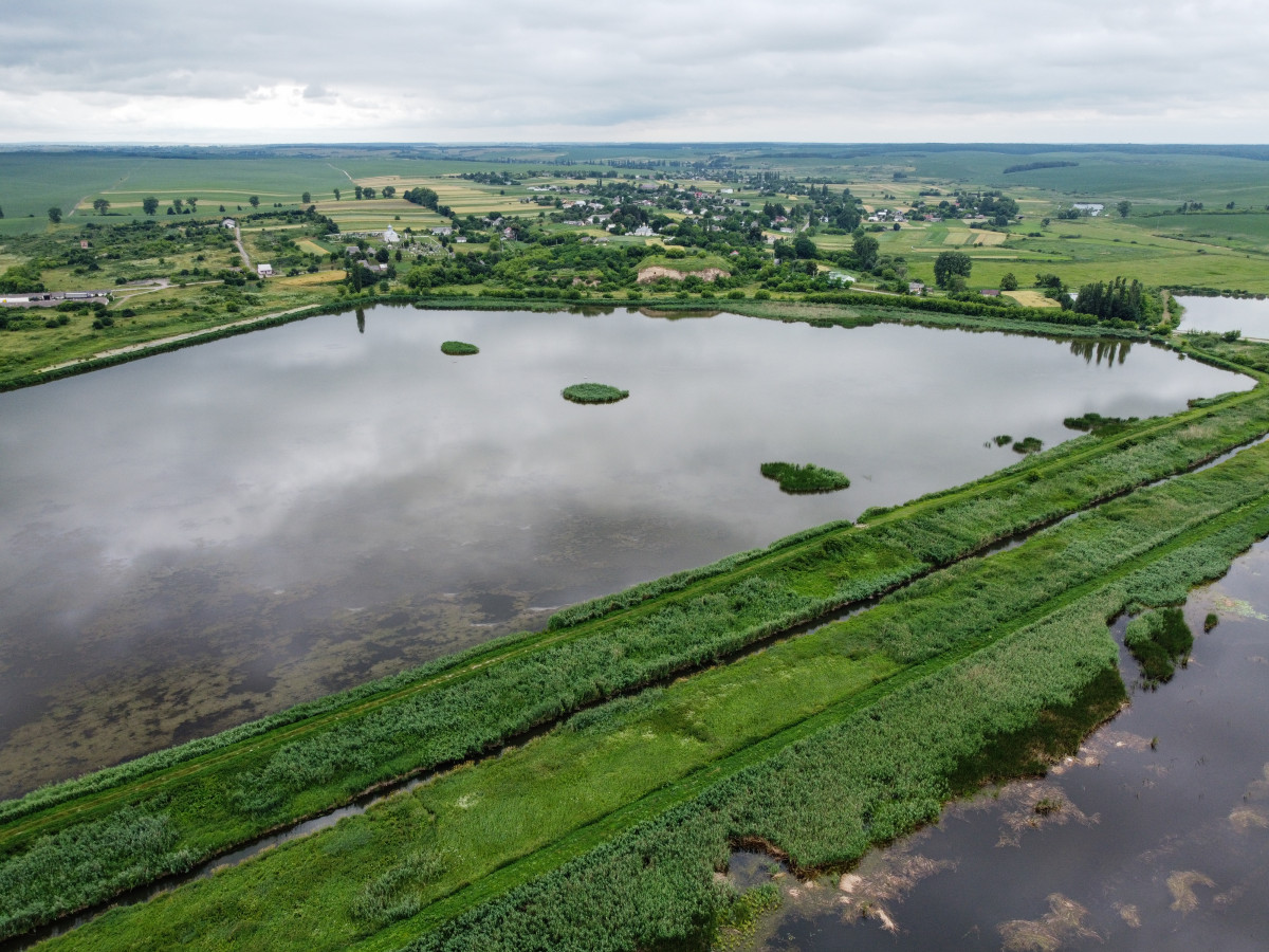
For their new town, the locals chose a high hill opposite Peresopnytsia, across the Stubla River. Two sides of this settlement were surrounded by the swamp, and the other two – by a wide 15-meter moat.
The town, built by the people of Peresopnya, was named Zhukiv, and the parish was called Zhukivska. Administratively, it was a part of the Lutsk Voivodeship of the Grand Duchy of Lithuania.
An interesting fact is that for a long period of time the parish had one important duty: to send guards and heralds to the Lutsk Castle. In addition, they provided horses for officials who travelled from Lutsk to Kyiv.
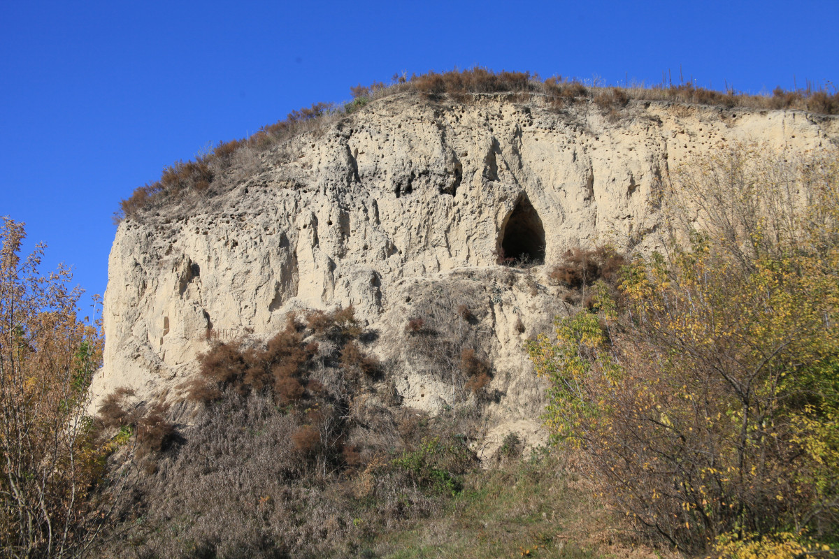
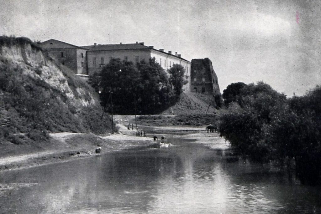
The castle in Zhukov was built in the late XIV century in the Gothic style.
For a long time the lands were owned by the Czartoryski family. But due to the fact that in the XVI century intensive construction of large and small villages began in Volyn, the owner of Zhukiv moved the center of the parish to Klevan.
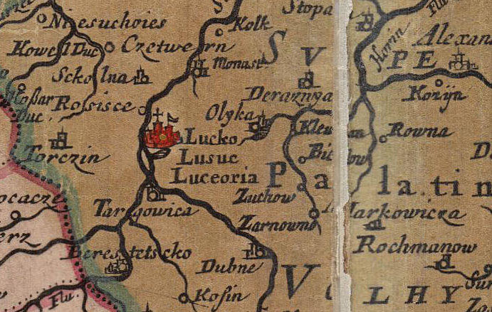
By the end of the XVIII century Zhukiv retains the status of a town. Its image was found on European maps of that time, but after its occupation by the Russian Empire Zhukiv declines.
The castle was gradually collapsing, and some brick remains were dismantled for economic needs, even in the middle of the XX century.
The name of this historic settlement has undergone many changes: Zhukiv, Novozhukiv, Iskra and again Novozhukiv.