

The construction of the Kyiv-Brest railway affected the development of Klevan significantly.
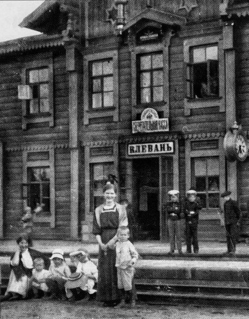
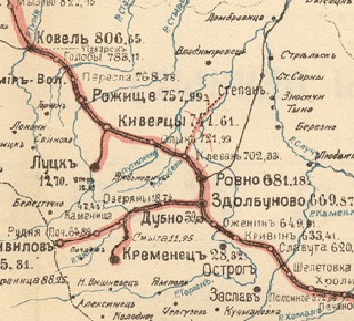
On May 12, 1873, the Zhytomyr paper “Volyn Provincial News” reported on the start of freight traffic on the section from Berdychiv to Brest with the stations Ozhenyn, Zdolbuniv, Rivne, Klevan, and Kovel.
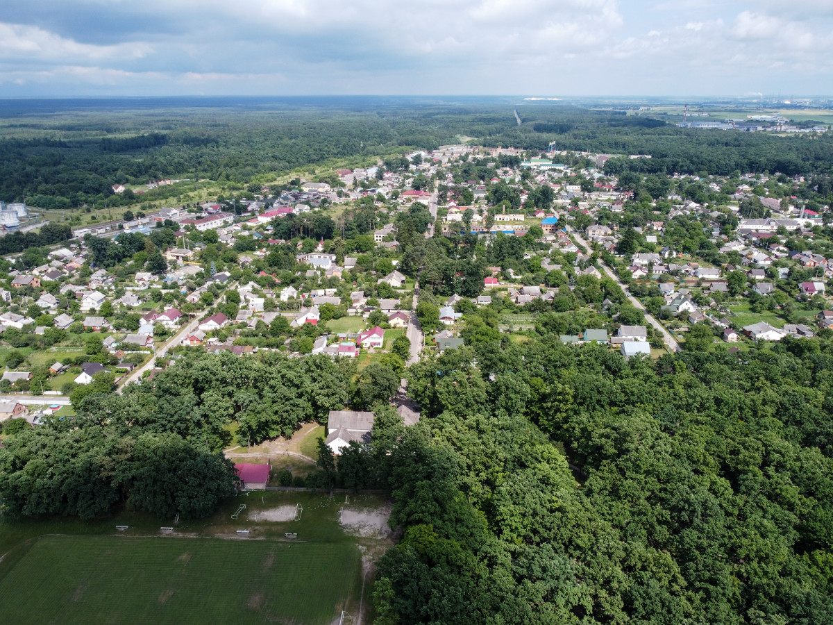
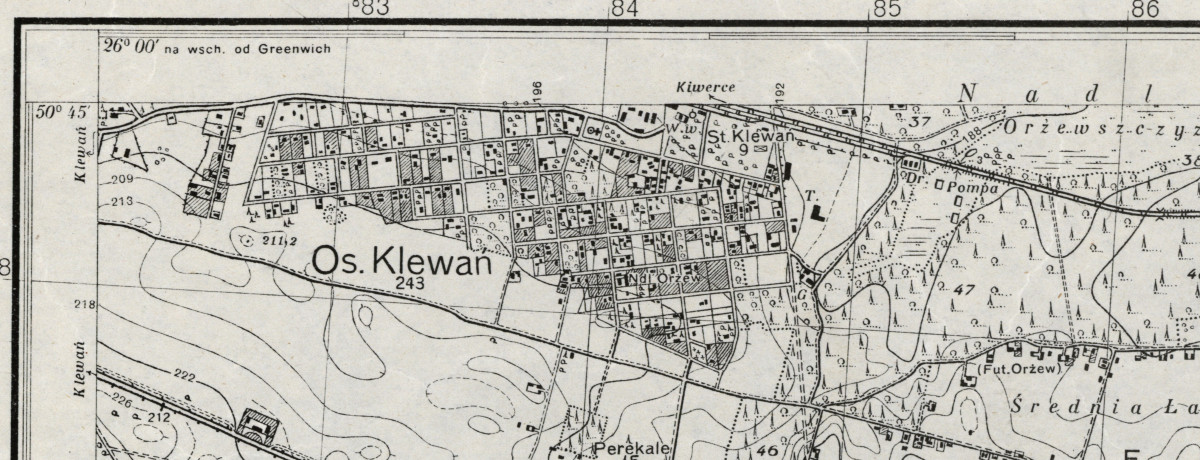
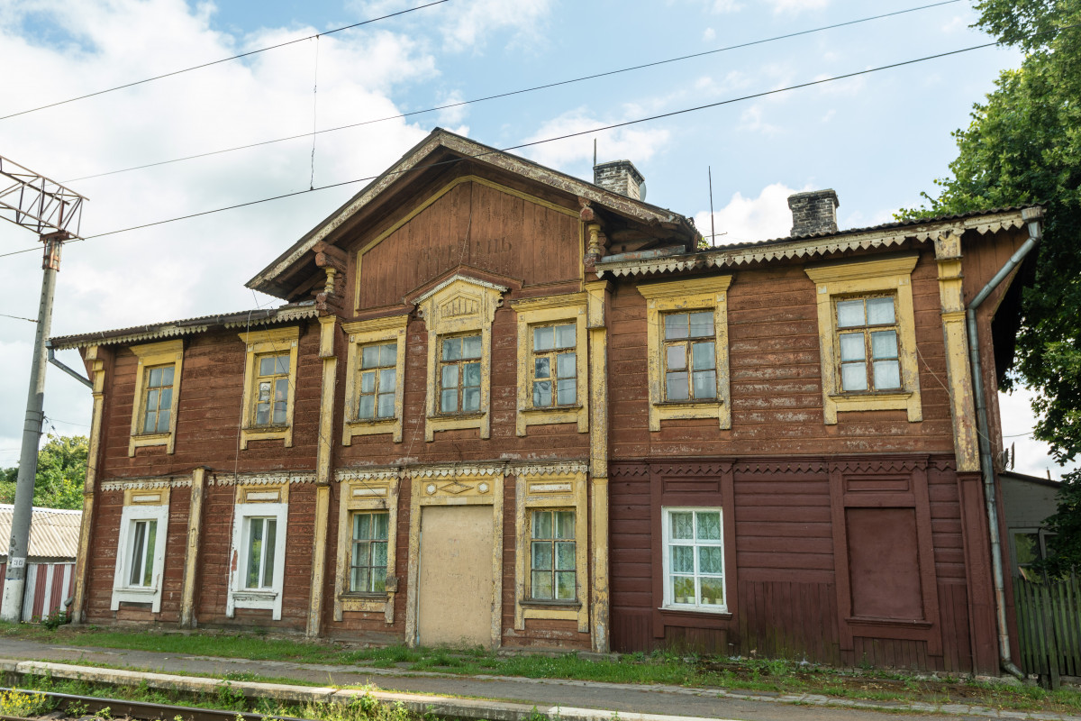
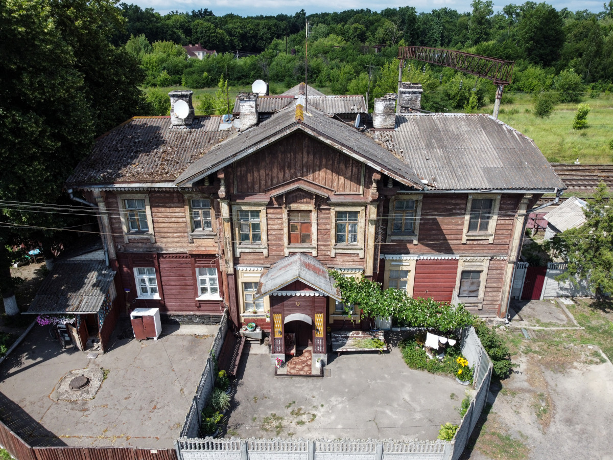
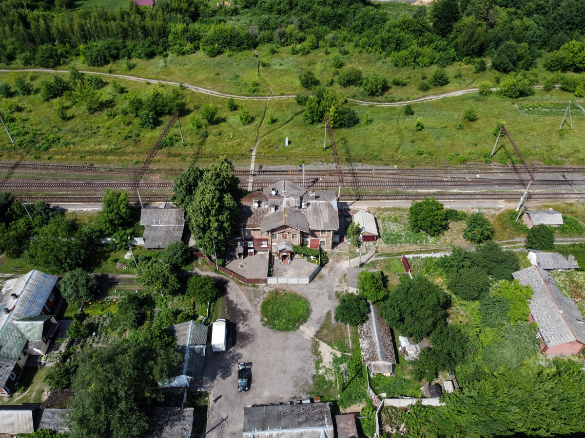
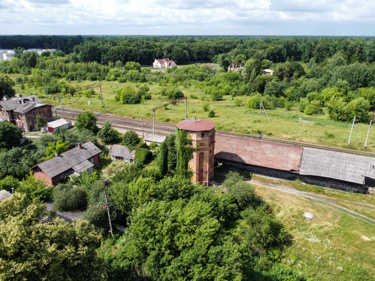
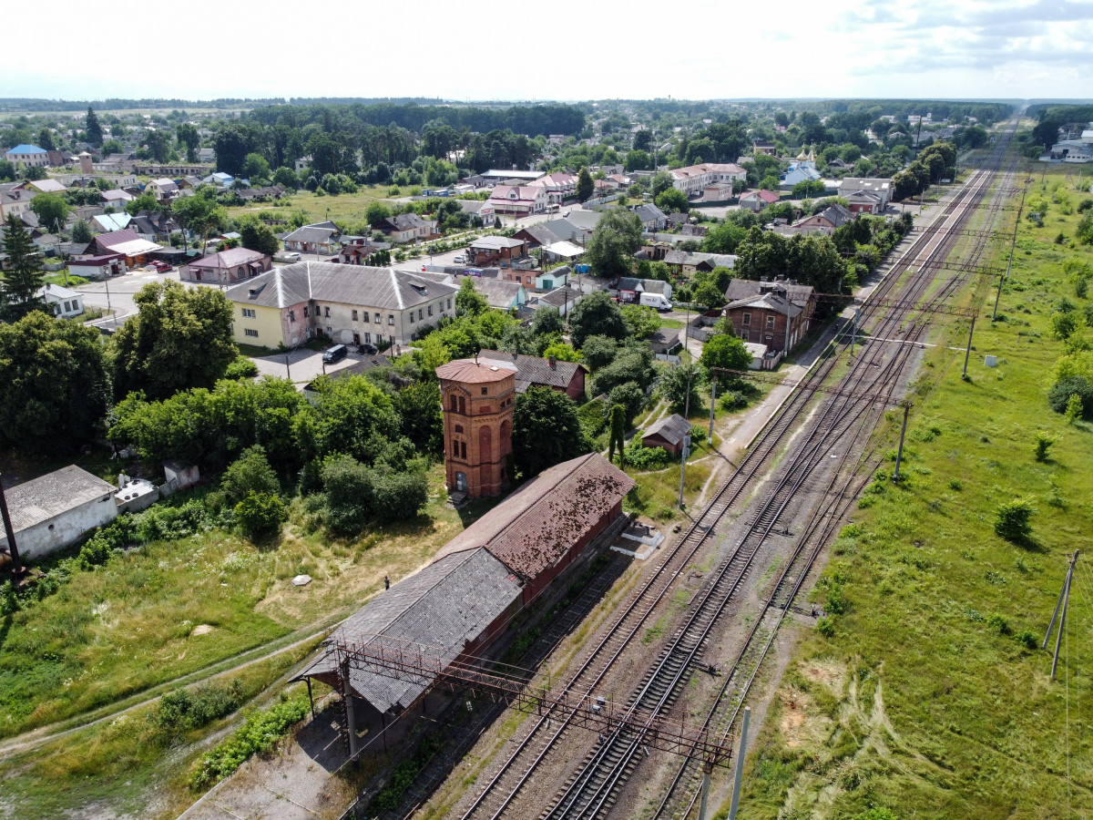
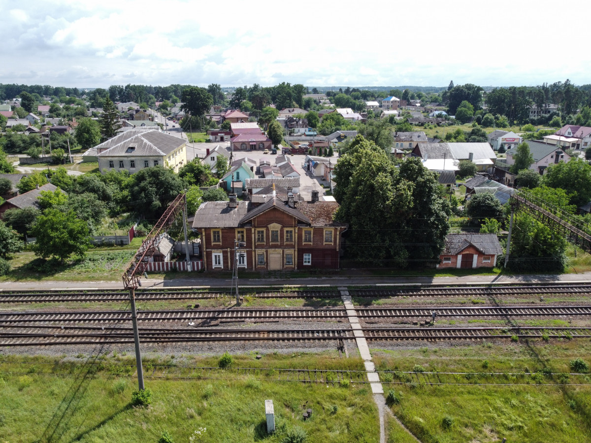
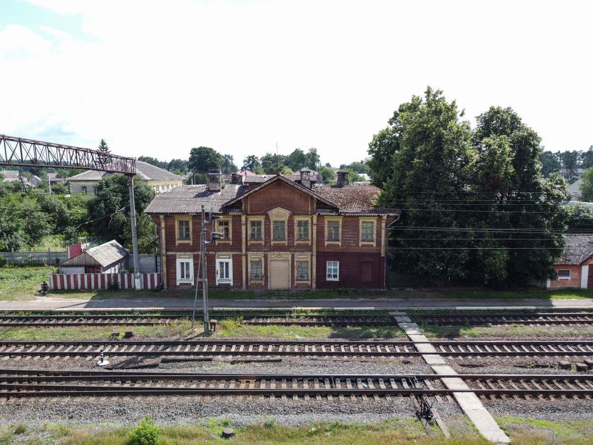
The railway did not pass through Klevan directly, so its outskirts began to grow quickly and soon became known as Klevan II (the Second). Its first inhabitants were workers and employees of the railway. The first buildings in Klevan II appeared near the railway station, which was constructed in the late XIX – early XX centuries. The building of the railway station has survived to our time. Another important stage in the development of Klevan II is the building of the Klevan-Stepan railway, which was completed in 1882.
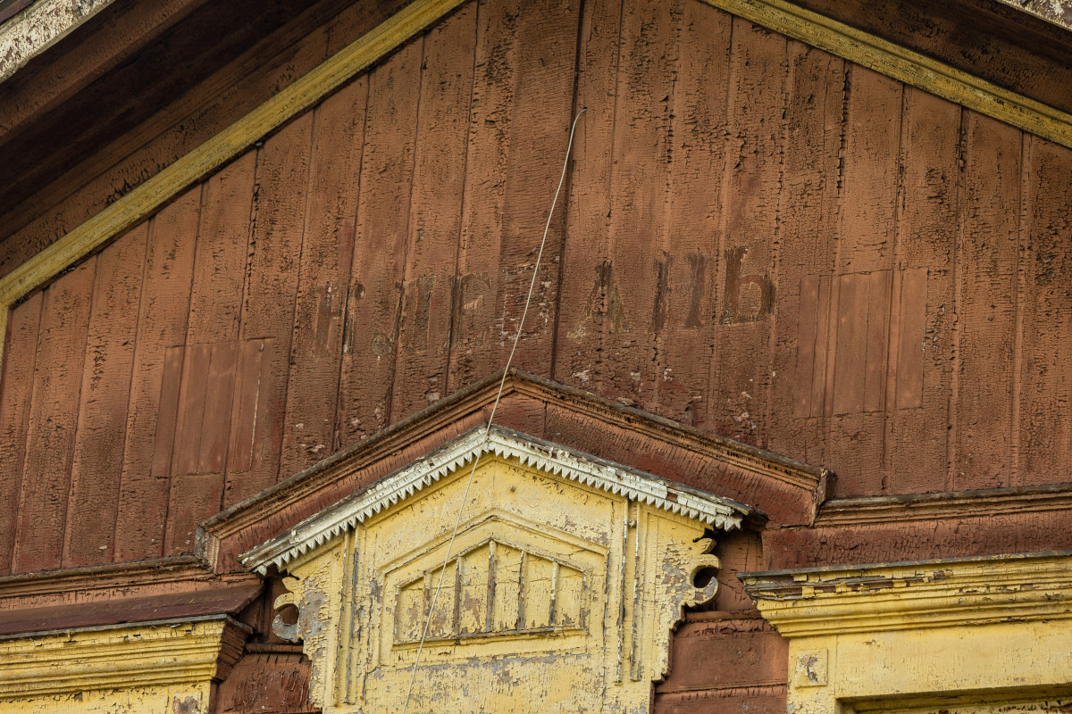
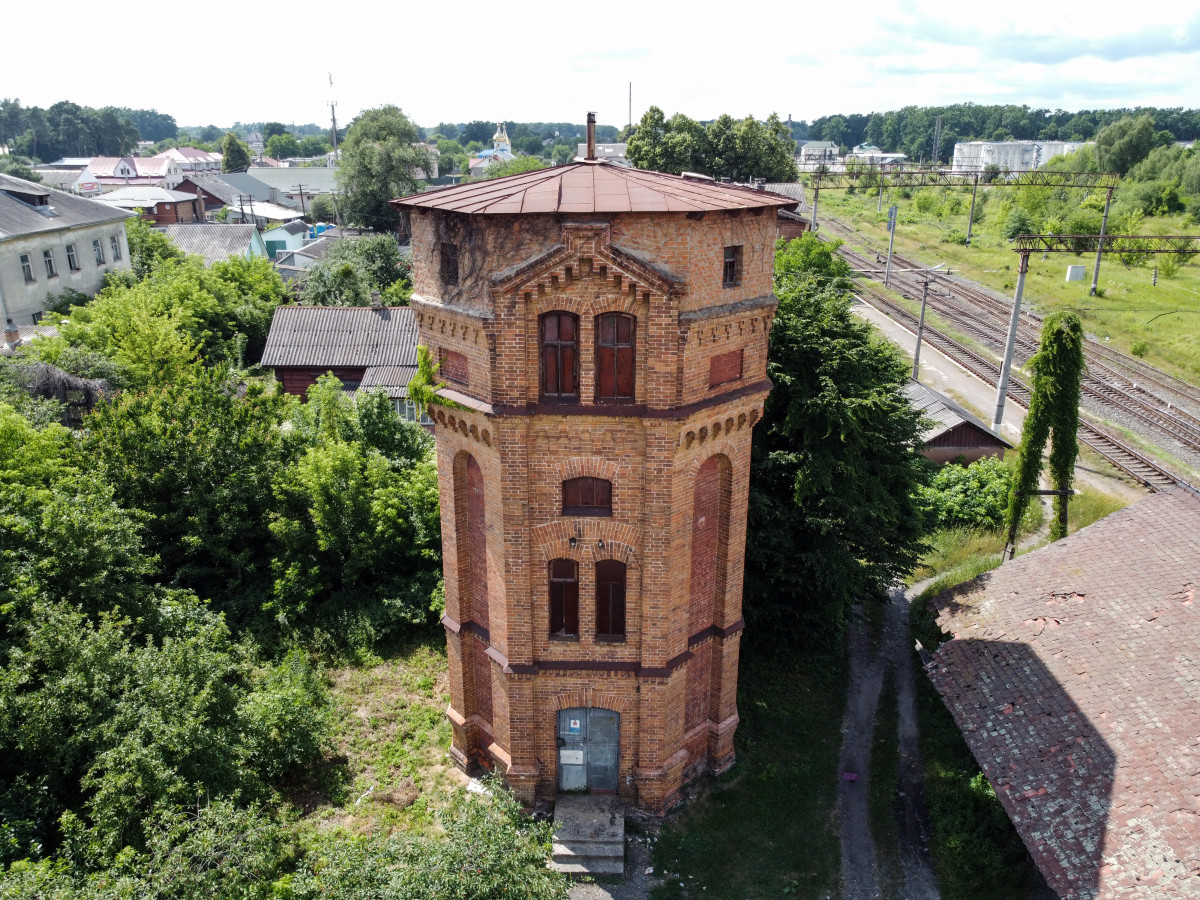
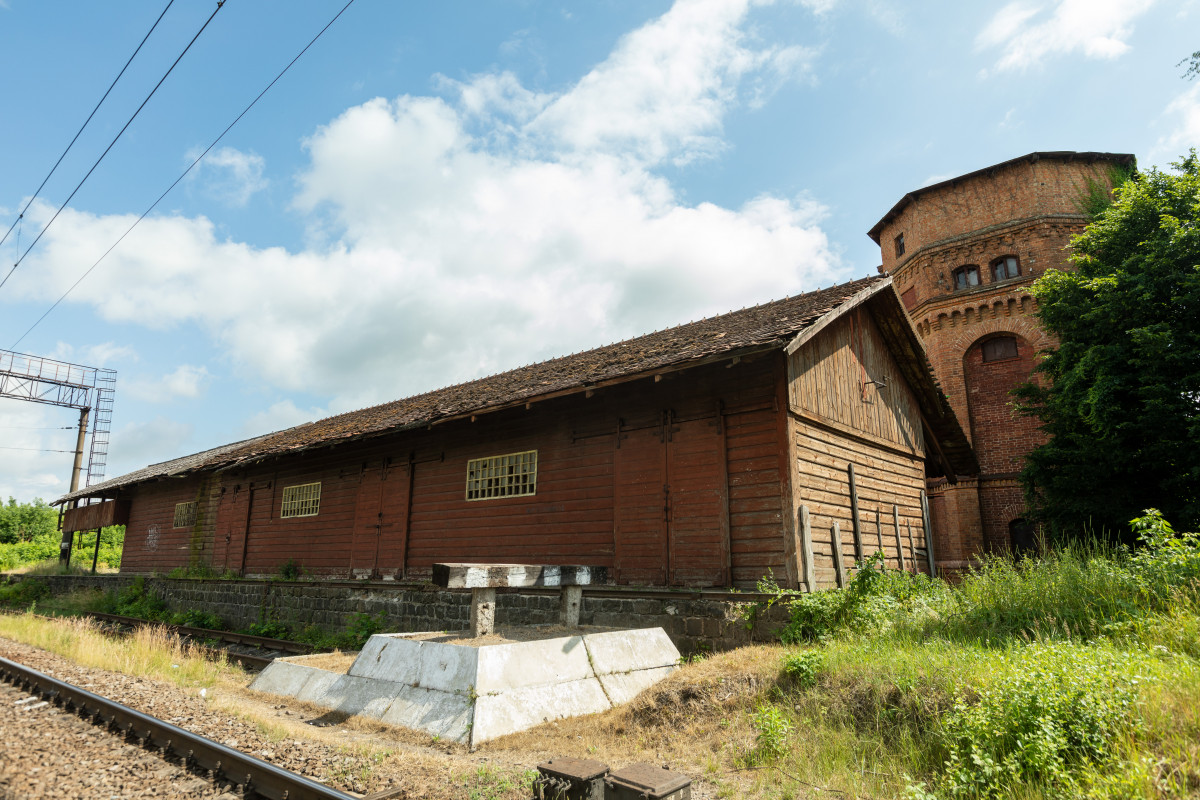
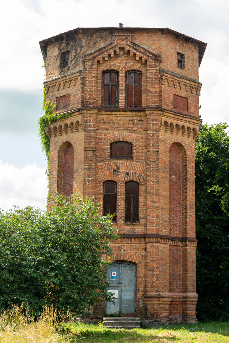
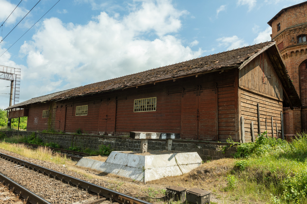
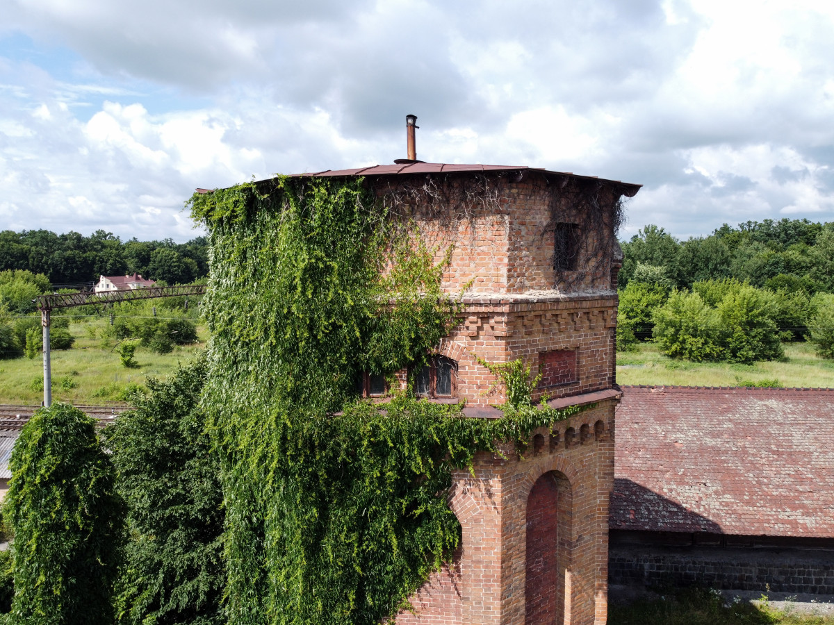
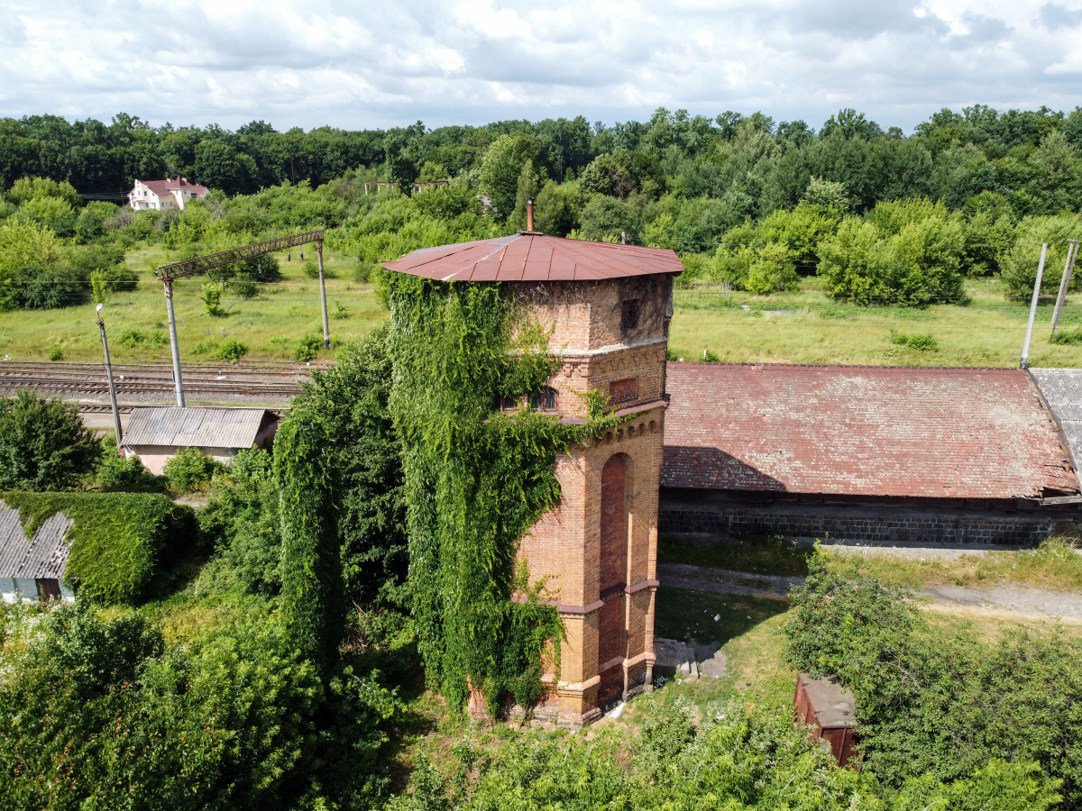
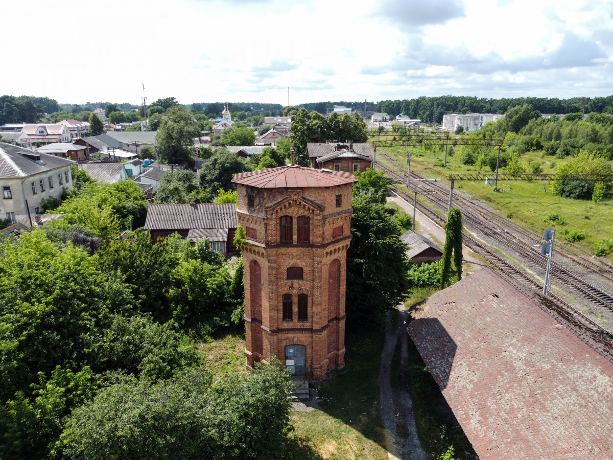
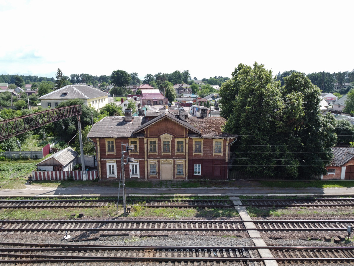
The old station building is located near the modern one. It is among the oldest wooden stations in Ukraine, which have survived to this day. Nearby, there is a station water tower, built in the early XX century. All these buildings need to be protected and added to the list of historical heritage sites of local significance.
Klevan Park is a site of landscape art of local significance and its area is 7 hectares. The most common species here are oaks, the oldest of them are about 250-300 years. Common hornbeam, black locust, birch, black and white poplar, small-leaved linden, maple, and pine also grow here.
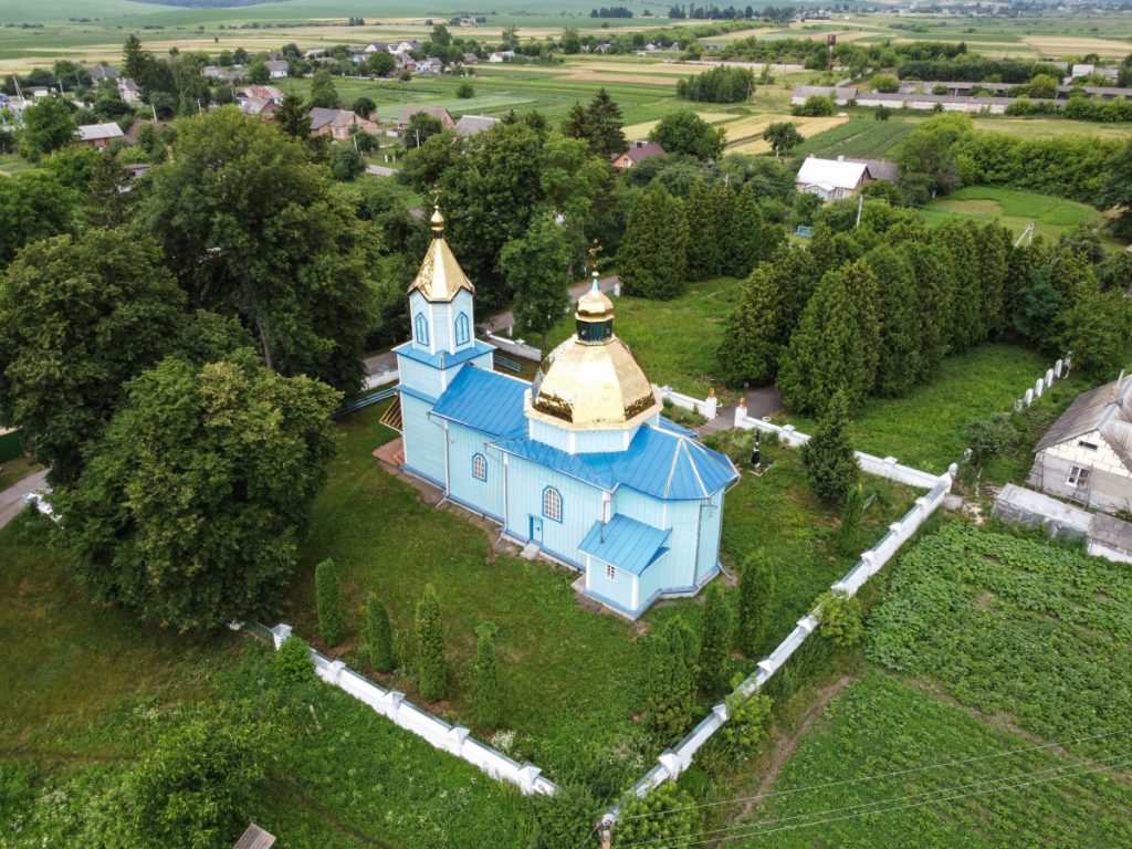
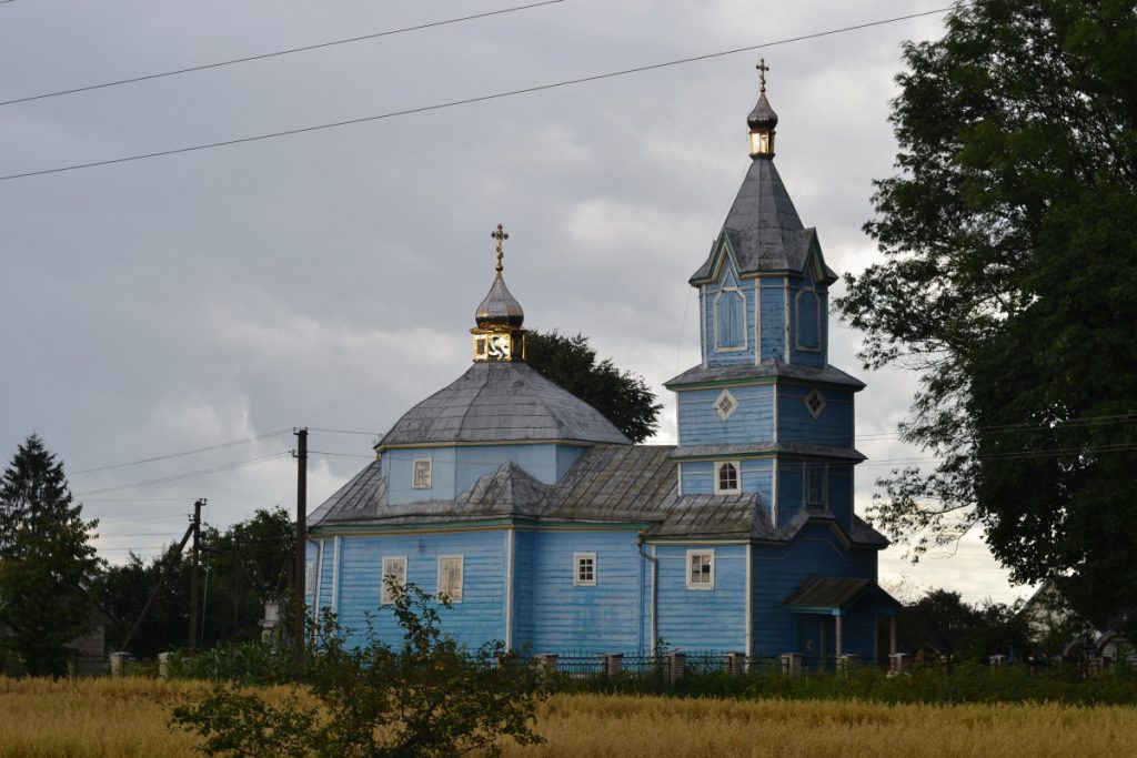
The park is a remnant of an old oak grove that used to grow in this area. The Memorial to the soldiers of World War II is also located here and the Church of Saints Peter and Paul is not far away.
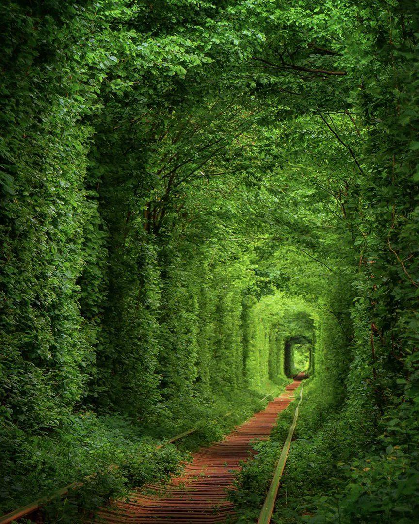
Tunnel of Love – a green tunnel in the woods, formed above the railway track (its shape is a result of trains movement). A picturesque combination of the miracle of nature and human influence. Located at a distance of 1.5 km from the station in Klevan, over the past 10 years the tunnel has become a tourist location and a place of pilgrimage for couples in love.