

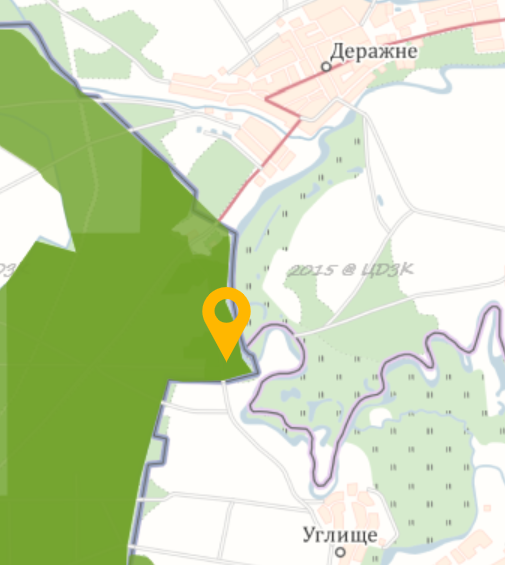
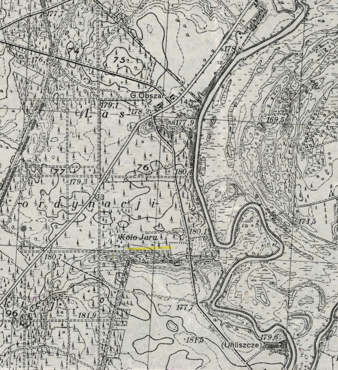
Complex nature site of national significance with an area of 30 hectares.
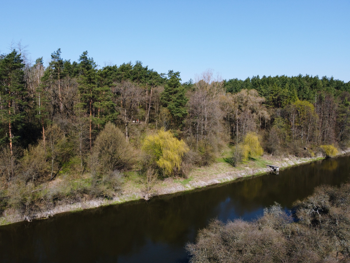
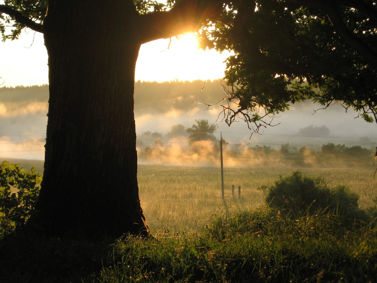
This is one of the most famous nature reserves of “Tsumanska Pushcha”, with a picturesque landscape and rich vegetation.
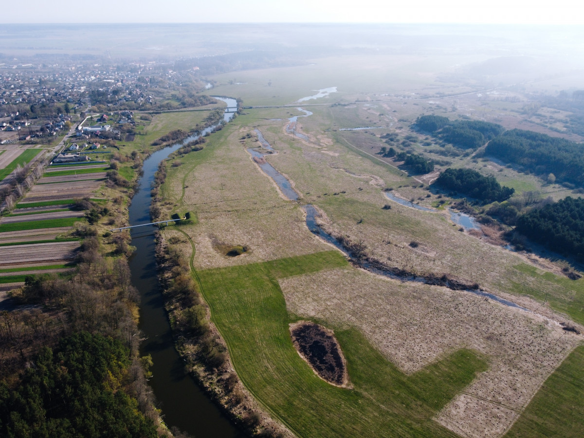
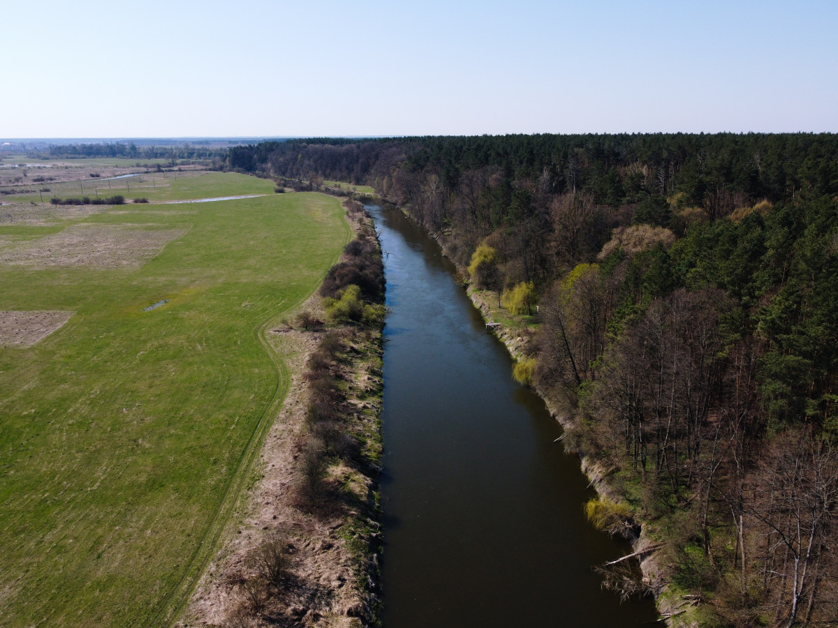
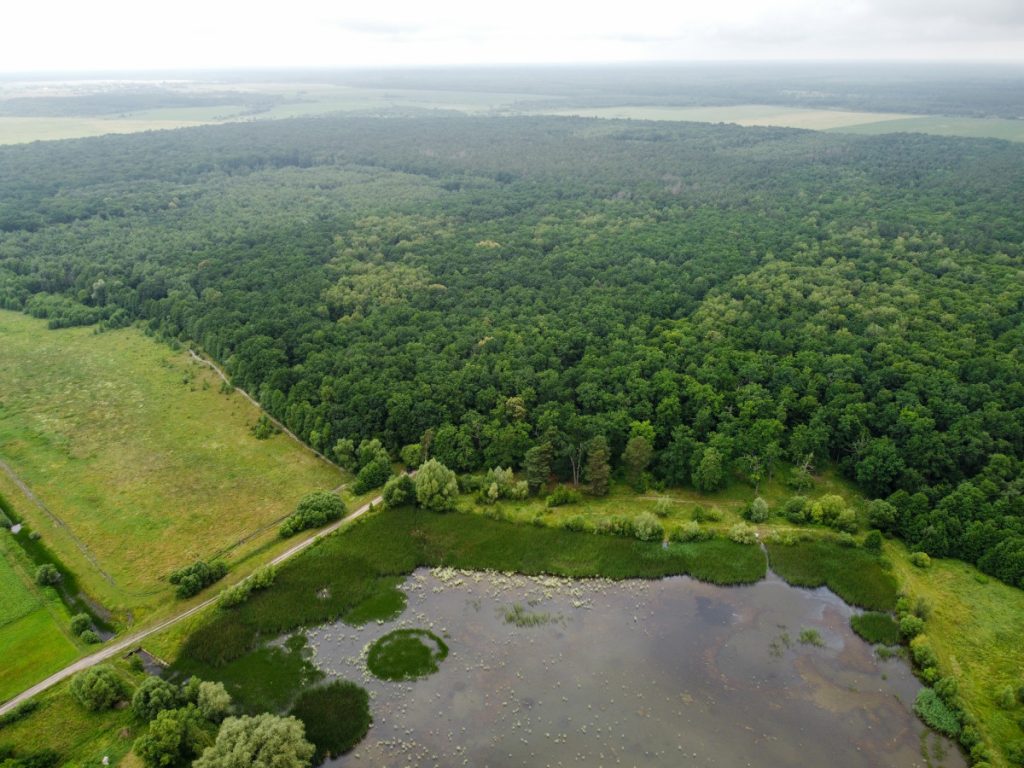
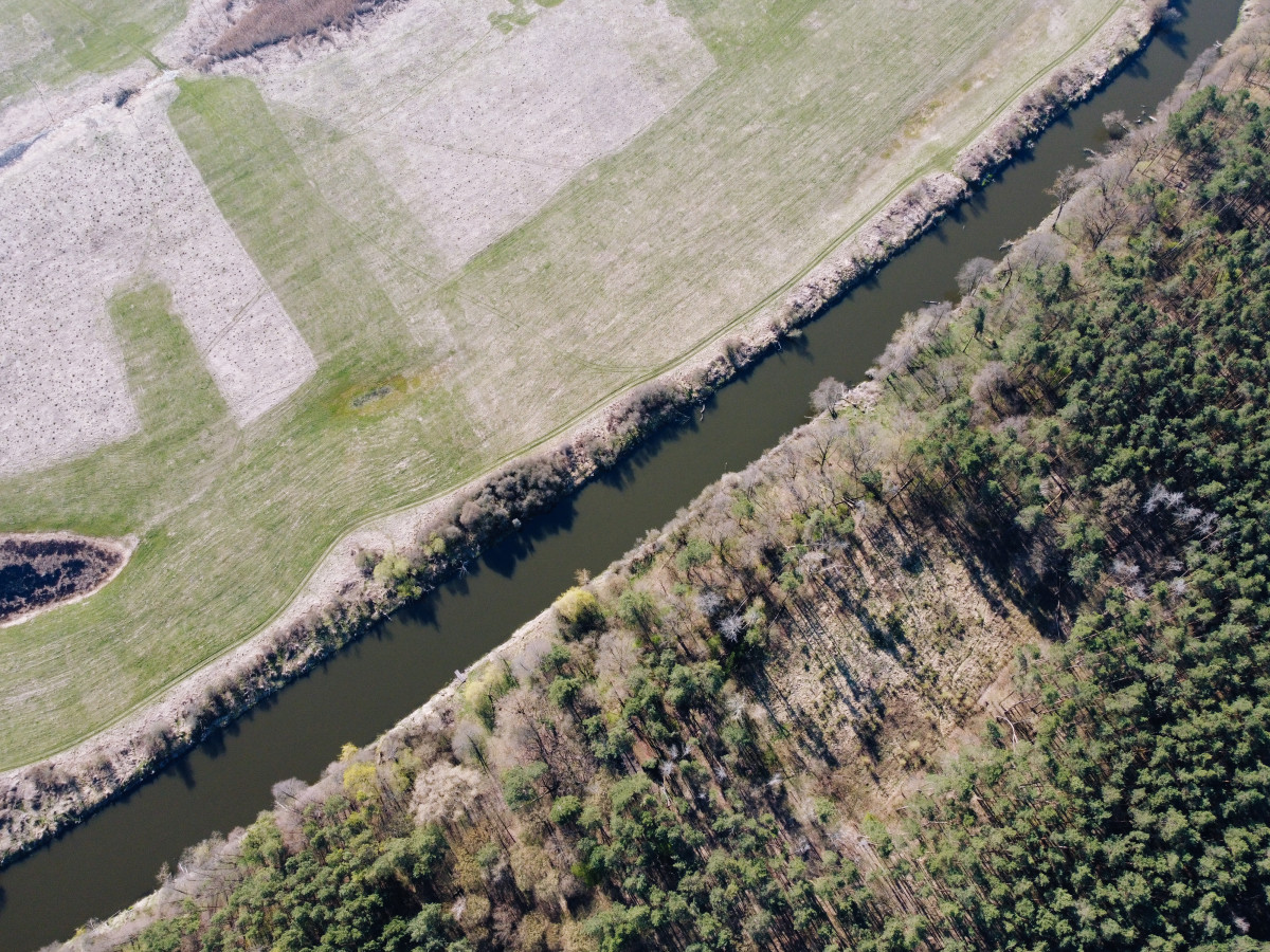
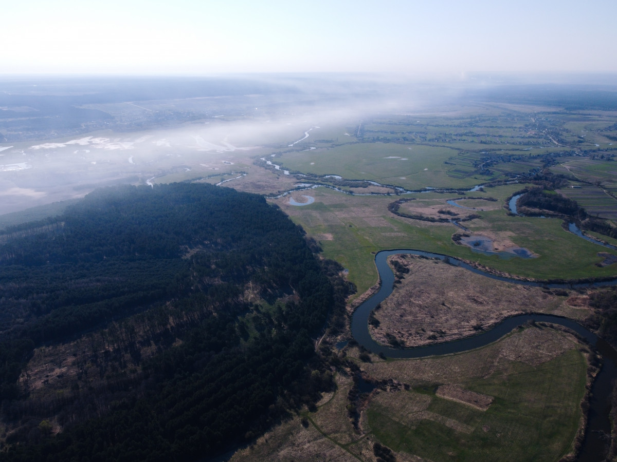
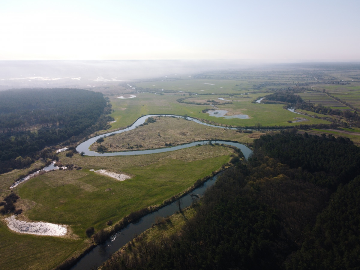
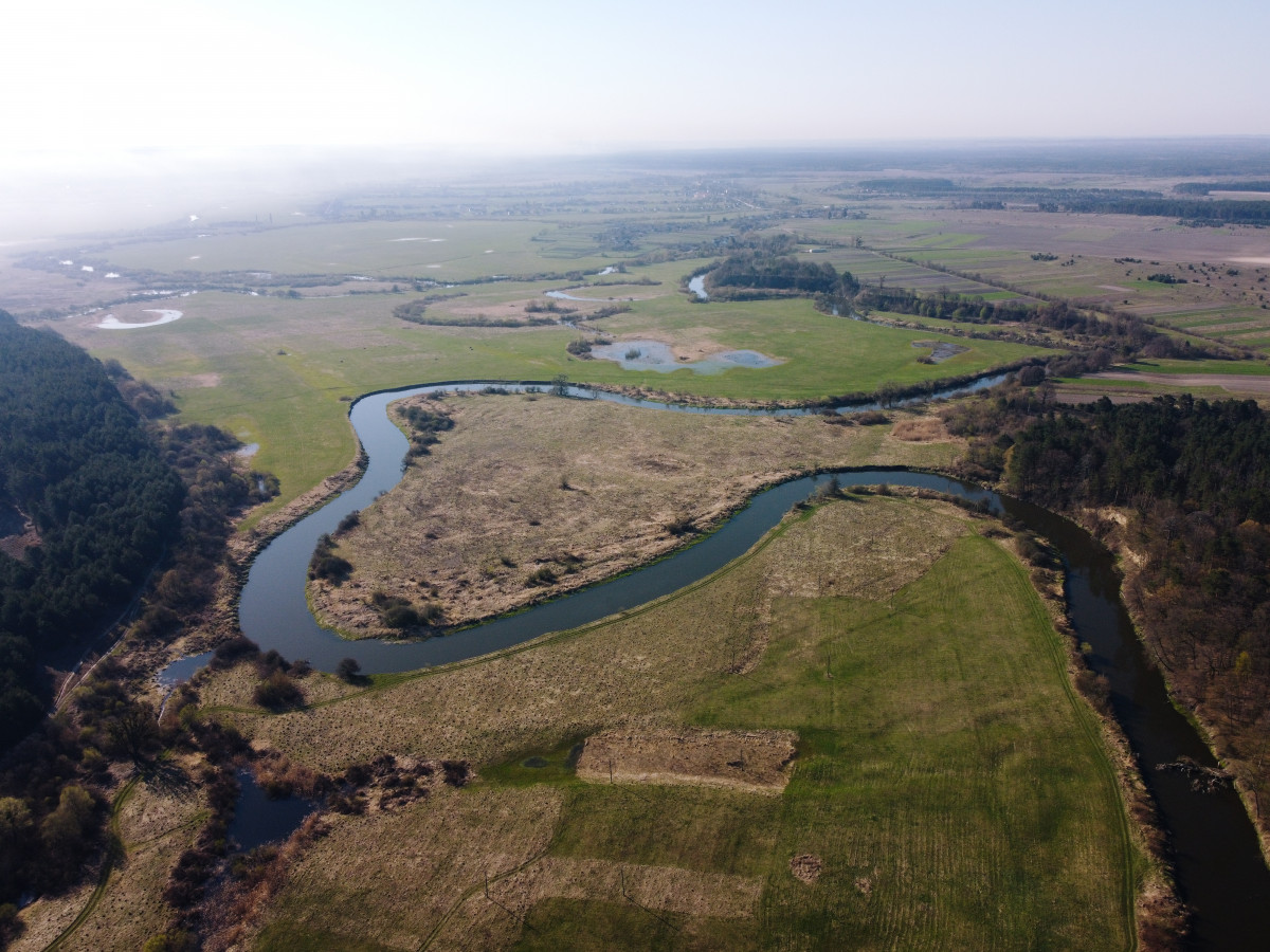
Steep slopes of Horyn vividly illustrate the combination of Polissya and forest-steppe. An ecological trail with the same name and length of about 2 kilometers starts here.
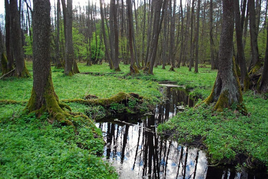
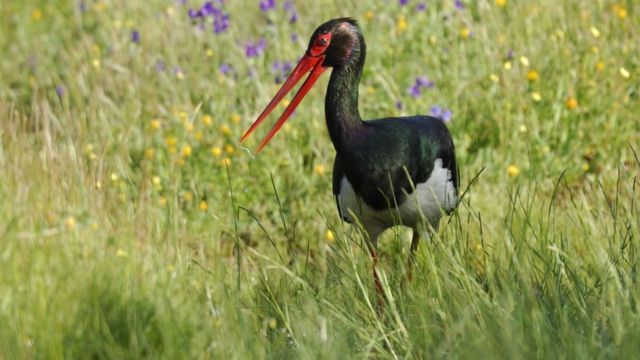
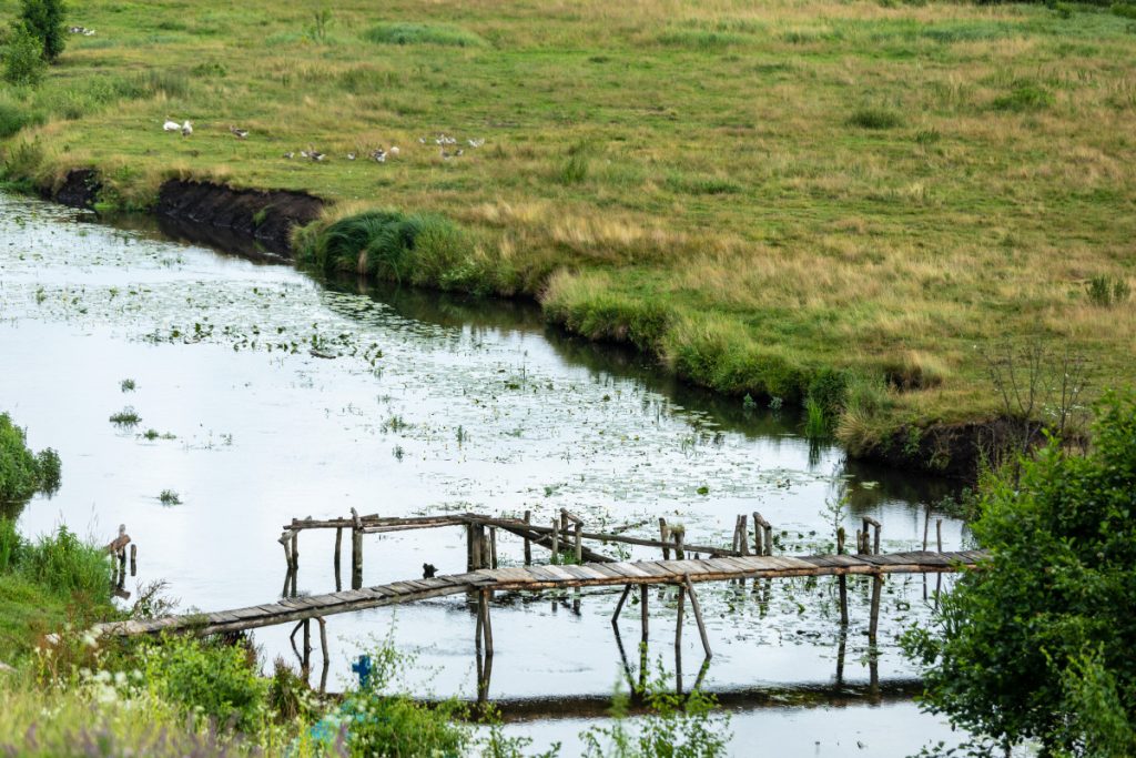
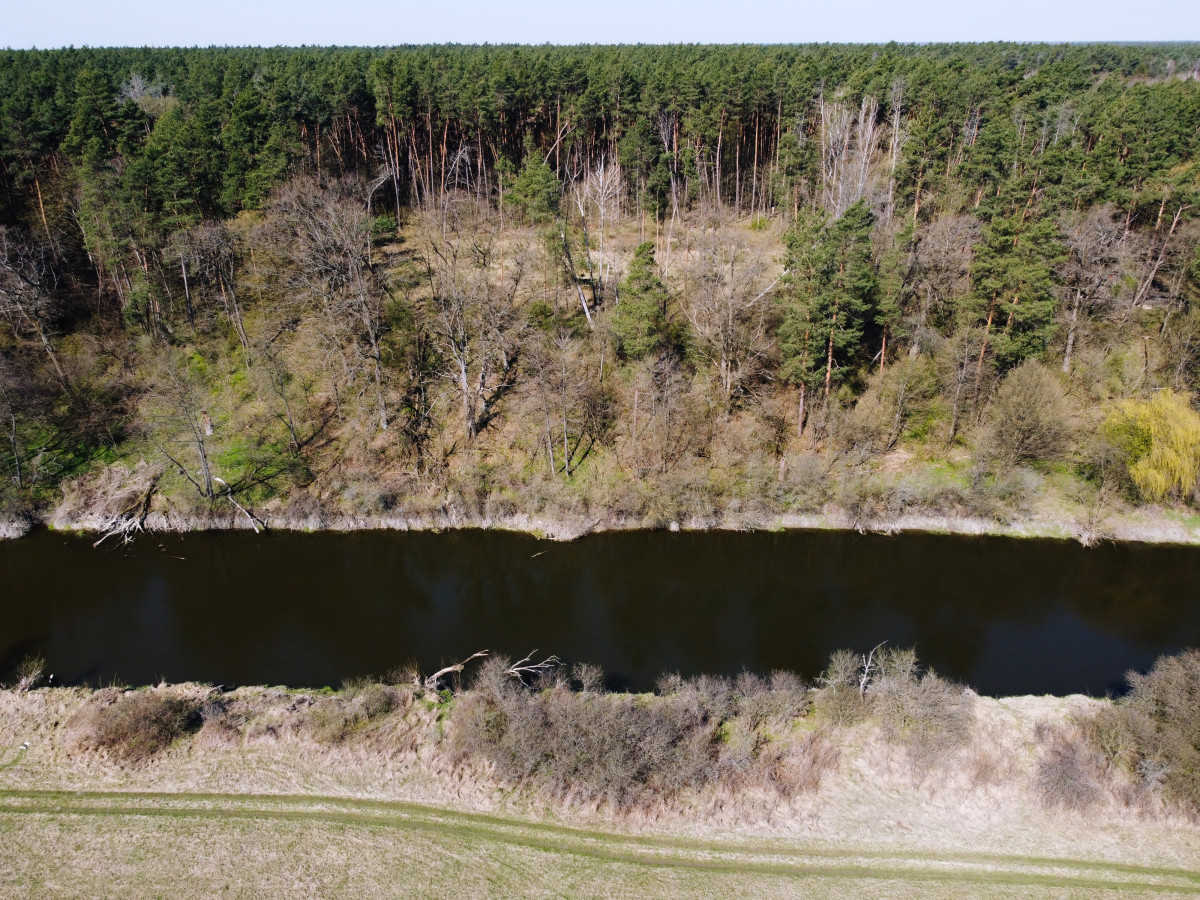
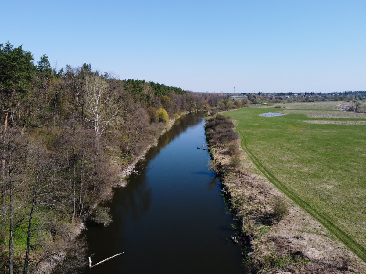
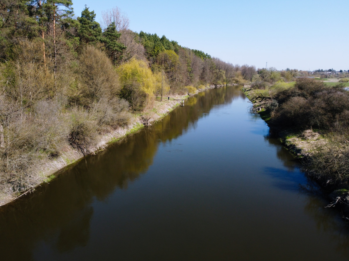
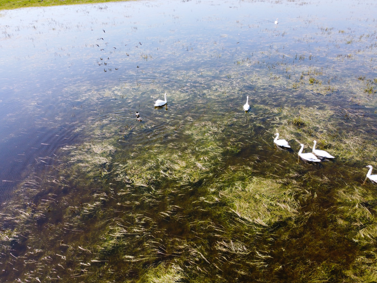
The protected tract is washed by the Horyn River, beavers, otters, and a variety of fish live here.
It is here, along the river, that the border of Volyn and Rivne regions passes. The Volyn slope is very high, steep, and the opposite one is low. As the riverbank in this place resembles a mountain several tens of meters high, and the bare cliff is of a light sand color, the area got its name – “Bila hora” (White Mountain).
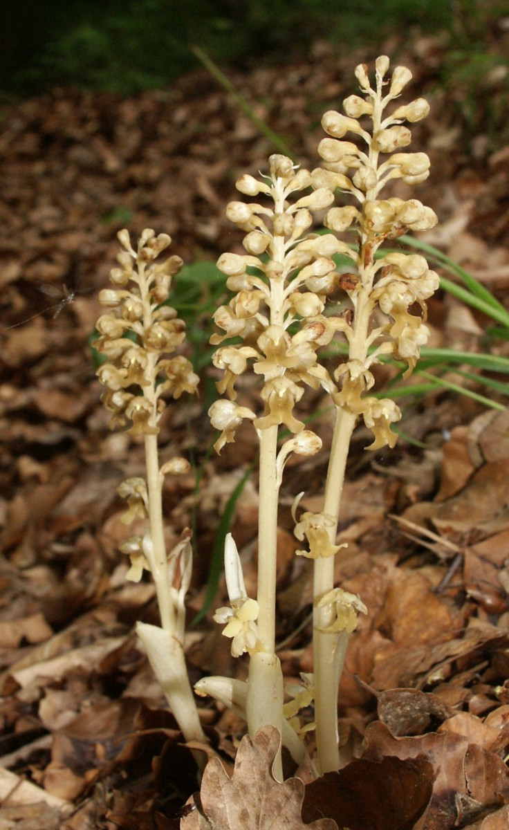
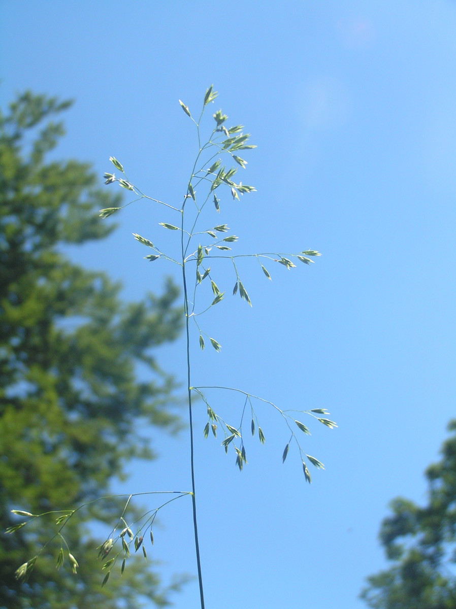
Due to a special microclimate, lungworts, primulas and corydalis start blooming along the river very early. As many as 20 species of violets grow here. Among other rare species, festuca altissima that was first discovered in Volyn in 2002. Prior to that, scientists believed it grew only in the Carpathians.